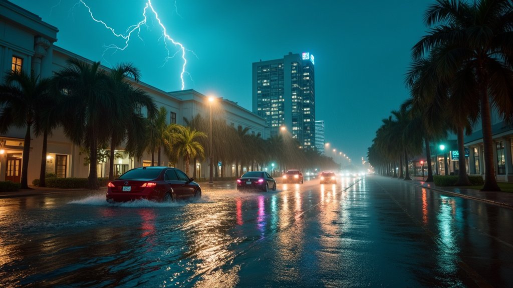
Miami, FL – South Florida is once again battling a familiar foe this weekend: persistent, heavy rain and thunderstorms. A stalled frontal boundary has locked the region in a stormy weather pattern for over a week, leading to significant rainfall and prompting concerns about urban flooding, particularly in low-lying areas like Miami. While the University of Miami (UM) campus remains prepared for such atmospheric onslaughts, residents and commuters are navigating slick streets and the ongoing threat of downpours.
The Lingering Frontal Boundary
The primary culprit behind the extended period of unsettled weather is a stalled frontal boundary that has refused to budge, acting as a consistent trigger for atmospheric instability across the region. This meteorological setup, combined with ample tropical moisture, has fueled daily rounds of heavy rain and thunderstorms, predominantly during the afternoon and evening hours. As of Saturday, September 13, 2025, a Level 2 out of 4 Flash Flood Threat remained in effect for South Florida, signaling an increased risk of localized flooding, especially in urbanized zones that struggle with drainage. This news has been a recurring headline for the region.
Quantifying the Downpour
Miami has seen a substantial accumulation of rain recently. Reports indicate that the city has recorded over 8 inches of rainfall since the end of the previous weekend and surpassed 10 inches for the month of September. Some areas experienced intense downpours, with over 2 inches of rain falling in just two hours on Wednesday, September 10, 2025, punctuated by rapid bursts of precipitation. Even the iconic South Beach has measured more than a foot of rain this month, contributing to widespread soggy conditions. This trending pattern of heavy rain has become a significant concern for residents.
Urban Flooding and Coastal Concerns
The impact of this relentless rain is most acutely felt in Miami’s urban core. Streets have transformed into temporary lakes, swamping some vehicles and causing disruptions. The National Weather Service in Miami issued repeated warnings about the potential for street flooding due to the heavy rainfall. Compounding the issue, South Florida is also experiencing the start of its annual “king tide” season. These naturally occurring higher tides, amplified by the moon’s position, are now coinciding with the heavy rainfall, making it more difficult for storm drains to effectively channel water away from inundated areas. Coastal areas in Miami-Dade, Broward, and Palm Beach counties were under a Coastal Flood Statement through Saturday afternoon, September 13, 2025, warning of minor coastal flooding during high tide periods, with saltwater intrusion posing a risk to vehicles. Officials urge drivers to exercise extreme caution and avoid driving or walking through standing or fast-moving water, adhering to the crucial “Turn around. Don’t drown.” mantra.
University of Miami’s Weather Preparedness
The University of Miami, a prominent institution situated in a region accustomed to severe weather, maintains robust emergency preparedness protocols. The university is equipped with systems like the Thor Guard Lightning Prediction and Warning System on its Coral Gables campus to alert the community to imminent lightning threats. UM’s emergency plans cover a range of hazards, including flooding, lightning, and tornadoes, outlining specific action guidelines. These include seeking sturdy shelter, staying away from windows, and avoiding flooded areas. Students are encouraged to ensure their emergency contact information is up-to-date via the university’s Emergency Notification Network (ENN) to receive timely alerts. While no specific major disruptions to campus operations on this particular weekend have been reported, the university’s infrastructure and preparedness measures are designed to mitigate the impact of such weather events.
A Glimpse of Drier Skies
Fortunately, the forecast offers a glimmer of hope. The stalled frontal boundary is expected to finally begin migrating southward, allowing drier air to gradually move into the region by early next week. This shift in weather patterns should bring brighter skies and warmer temperatures, providing a welcome respite from the continuous rain. However, residents are advised to remain vigilant for any lingering isolated showers or thunderstorms that might persist into the early part of the week before the drier air fully establishes itself.
The ongoing stormy weather serves as a stark reminder of South Florida’s susceptibility to atmospheric disturbances. As the weekend progresses, the focus remains on safety, with authorities and the University of Miami reinforcing preparedness measures and advising residents to stay informed about the latest weather news and advisories.


