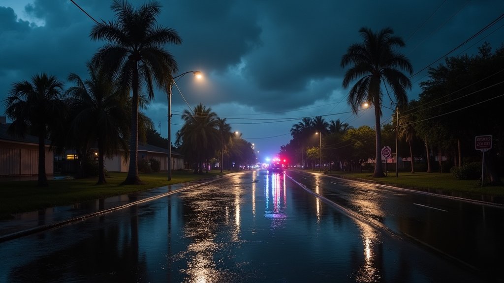
MIAMI, FL – South Florida residents are advised to prepare for a significant increase in rain and a heightened risk of flash flooding as October commences. Beginning Thursday, October 1, 2025, counties including Miami-Dade and Broward are under a Level 1 risk of excessive rainfall, according to the Weather Prediction Center. This alert signals the potential for impactful downpours and rapid water accumulation across vulnerable areas.
Scattered Storms and Elevated Flood Risk
The weather pattern for South Florida is shifting, bringing a welcome return of more active weather following a period of heat. While the start of Thursday might see dry and sunny conditions, scattered showers and thunderstorms are expected to develop later in the day and persist through the weekend. These storms carry the potential for producing several inches of rain in localized areas, leading to the primary concern of flash flooding. Excessive runoff could inundate roadways, low-lying neighborhoods, and flood-prone zones, prompting caution for all residents.
The forecast indicates that this unsettled weather pattern will continue into the weekend, with deep moisture in place enhancing the chances of daily scattered storms. Daytime highs are expected to remain seasonable, hovering in the upper 80s, but the added humidity will likely make it feel warmer.
Coastal Hazards and Marine Warnings
Beyond inland flooding concerns, the Atlantic coast is also facing hazardous conditions. Northeast winds and elevated seas are contributing to rough surf and strong rip currents. A Small Craft Advisory is in effect for boaters along the Atlantic waters, warning of 7 to 10-foot seas and northeast winds of 10 to 15 knots. Swells generated by distant hurricanes are also impacting the coastline, creating dangerous conditions that make swimming ill-advised through at least late Saturday night. Coastal residents and beachgoers are urged to exercise extreme caution and heed all posted warnings.
Distant Storms Contribute to Coastal Swells
While South Florida grapples with its own weather system, the broader tropical Atlantic is active with powerful storms. Hurricane Imelda, currently strengthening and moving towards Bermuda, is not expected to make a direct landfall on Florida’s coast. However, the large ocean swells generated by Imelda, along with the remnants of Hurricane Humberto, are significantly contributing to the elevated wave heights and hazardous surf conditions observed along the U.S. East Coast, including Florida.
Bermuda is bracing for a more direct impact from Imelda, with the storm forecast to bring hurricane-force winds and heavy rainfall to the island. This distant activity serves as a reminder of the dynamic nature of Atlantic weather systems and their far-reaching influences.
Preparing for Rain and Potential Flooding
With the increased likelihood of heavy rainfall, local news outlets are emphasizing the importance of preparedness. Residents in flood-prone areas should stay informed about weather alerts and have a plan in place should flooding develop. The National Weather Service’s Miami office is closely monitoring the situation, providing real-time updates and advisories through their local channels. The current news trending across South Florida weather discussions highlights the shift from late-summer heat to a more active, moisture-laden pattern. This transition underscores the need for vigilance as the region enters a period with an elevated risk of flash flooding. Authorities are advising against driving through flooded roadways, reminding everyone that a few inches of moving water can be extremely dangerous and even deadly.
The coming days in Miami and surrounding counties will require an awareness of both the skyward threats of scattered storms and the ground-level consequences of potential flash floods. Staying informed through official weather news channels will be crucial for navigating the week safely.


