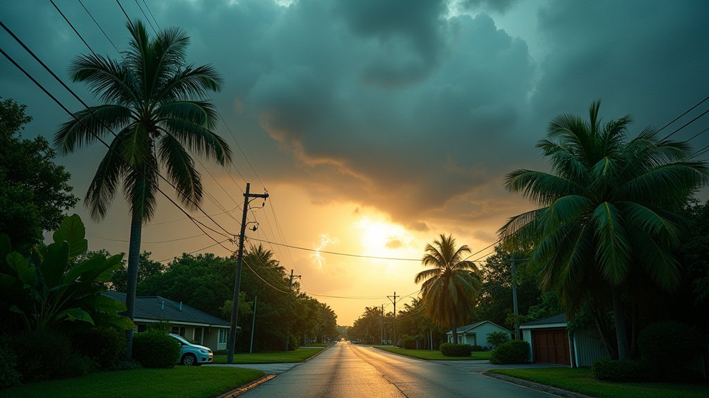
South Florida is bracing for a significant shift in weather as Thursday promises record-breaking heat, quickly followed by showers that signal the potential for a wet weekend. Residents should prepare for intense heat, with temperatures expected to climb well above seasonal averages before the arrival of much-needed, albeit disruptive, rainfall.
Key Highlights:
- Record-breaking high temperatures are forecast for Thursday.
- Showers are expected to develop on Thursday, increasing in coverage.
- The weekend outlook indicates a high probability of continued wet weather.
- Residents should stay hydrated and monitor weather alerts.
Scorching Heat Before the Storm
Record Highs and Humidity Surge
Get ready for a taste of summer in the heart of spring as South Florida anticipates a day of intense heat on Thursday. Meteorologists are predicting that several locations will shatter existing daily temperature records, pushing thermometers into the high 80s and even low 90s Fahrenheit. This sweltering heat will be accompanied by elevated humidity levels, creating a significant heat index that could make the ‘feels like’ temperature soar even higher. The National Weather Service has issued advisories urging residents to take precautions against heat-related illnesses, emphasizing the importance of staying hydrated, seeking air-conditioned spaces, and limiting outdoor activities during the peak heat of the day. Local emergency management agencies are on alert, ready to activate cooling centers if conditions become particularly severe.
Developing Showers and Thunderstorm Risk
As if the record heat wasn’t enough, the atmospheric conditions are ripe for the development of scattered showers and thunderstorms throughout Thursday. While these storms might offer a brief respite from the heat, they could also bring localized downpours, gusty winds, and even lightning. The timing and intensity of these rain events are still being fine-tuned by forecasters, but residents should be prepared for the possibility of sudden, heavy rainfall that could impact travel and outdoor plans. The combination of high temperatures and moisture in the atmosphere creates an unstable environment, conducive to convective activity. This pattern is typical of early summer weather but is arriving ahead of schedule this year, catching many by surprise.
Wet Weekend Ahead: A Shift in Pattern
The approaching showers on Thursday are merely the prelude to a significantly wetter pattern expected to settle over South Florida for the upcoming weekend. Models indicate an increased chance of widespread rain and potentially thunderstorms from Friday night through Sunday. This prolonged period of precipitation could lead to saturated grounds and potential flooding in low-lying areas. While the rain is beneficial for drought conditions that may have been developing, it also means that outdoor activities and weekend plans may need to be adjusted. Coastal areas could also experience increased wave action and rip current risks if tropical moisture begins to feed into the system, though current forecasts do not suggest a tropical cyclone development.
Localized Impacts and Preparedness
Local authorities are reminding residents to stay informed through reliable weather sources, such as the National Weather Service and local news outlets. Preparedness is key, especially for those who have outdoor work or activities planned. Drivers should exercise caution, as sudden downpours can significantly reduce visibility and create hazardous road conditions. Homeowners are advised to check their storm drains and gutters to ensure they are clear of debris to help mitigate localized flooding. The shift from extreme heat to a persistent rainy spell presents a dual challenge for the region, requiring adjustments in daily routines and a heightened awareness of weather-related risks.
FAQ: People Also Ask
FAQ: People Also Ask
What are the expected record high temperatures for Thursday?
While exact records vary by location, many areas in South Florida are expected to reach the high 80s to low 90s Fahrenheit, surpassing previous daily temperature records.
Will the showers on Thursday be widespread?
Showers are expected to be scattered but could become more widespread as the day progresses, with the potential for localized heavy downpours and thunderstorms.
How likely is rain for the entire weekend?
Current forecasts indicate a high probability of rain and thunderstorms developing from Friday night through Sunday, suggesting a persistently wet weekend.
What are the main risks associated with this weather pattern?
The primary risks include heat-related illnesses due to record heat, localized flooding from heavy showers, and potential travel disruptions due to reduced visibility and slick roads.
Should I be concerned about tropical cyclone development?
At present, forecasts do not indicate tropical cyclone development, but officials are monitoring the situation closely, especially concerning any potential for tropical moisture feed.