The 2025 Atlantic hurricane season is seeing increased activity with the formation of Tropical Storm Gabrielle on Wednesday morning, September 17. While the storm is generating interest and is expected to strengthen into a hurricane over the weekend, its current trajectory steers it away from Florida, according to the National Hurricane Center (NHC). Meanwhile, South Florida is preparing for a period of significant rainfall and the potential for localized flooding, driven by separate atmospheric conditions.
Tropical Storm Gabrielle Emerges in the Atlantic
Gabrielle officially became the seventh named storm of the 2025 Atlantic hurricane season, developing from Tropical Depression Seven. As of the latest advisories, the storm was situated in the central Atlantic, approximately 1,085 miles east of the northern Leeward Islands. It was tracking north-northwest with maximum sustained winds near 45 mph, with some higher gusts reported.
Forecasters with the NHC predict that Gabrielle will likely strengthen gradually over the coming days, with projections indicating it could reach hurricane status by Sunday. However, the current forecast cone indicates that the storm is expected to continue on a northwestward path, curving northward well before reaching the Caribbean islands or making any direct landfall on the U.S. coastline. The storm’s projected path suggests it could become a threat to Bermuda by late next week.
This development marks a notable uptick in tropical activity during a season that had experienced a lull through much of the climatological peak. While Gabrielle is being closely monitored for its potential intensification, its distance from the United States means it is not expected to bring direct impacts such as wind or storm surge to Florida or the U.S. East Coast in the immediate forecast period.
South Florida Faces Separate Rain and Flood Concerns
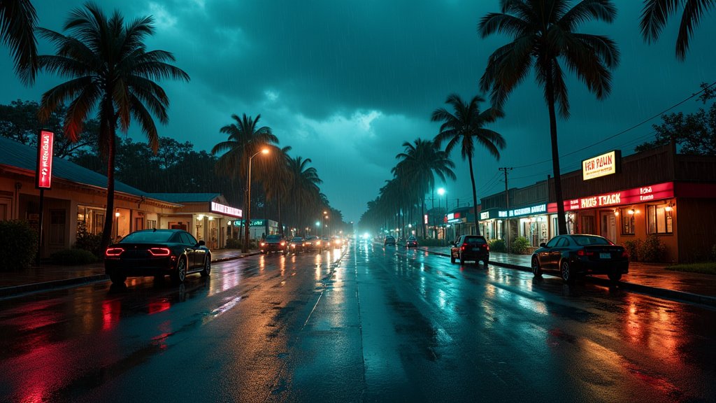
Despite Tropical Storm Gabrielle’s offshore track, residents in South Florida are being advised to prepare for substantial rainfall and the possibility of flash flooding. A weather pattern characterized by deep tropical moisture interacting with a lingering frontal boundary is forecast to keep the atmosphere moist and unsettled across the region through the end of the week.
Scattered to numerous storms are expected to develop across South Florida on Wednesday, with the potential for heavy downpours and localized flooding. Rainfall totals are anticipated to range from 2 to 4 inches across major metropolitan areas including Miami-Dade, Broward, and Palm Beach counties, with some isolated areas potentially receiving over 6 inches. This pattern of unsettled weather, including the risk of heavy rain and flooding, is expected to persist through Thursday and into Friday.
The Weather Prediction Center has placed Broward and Miami-Dade counties under a Level 1 risk for flash flooding for Wednesday, Thursday, and Friday, highlighting the need for vigilance, particularly in areas prone to inundation. Authorities are urging residents to stay away from flooded roadways, as water levels can rise rapidly and unexpectedly.
While the distant Tropical Storm Gabrielle is a significant trending news item in the Atlantic, the immediate weather concerns for Miami and surrounding areas are primarily driven by this localized atmospheric setup. There are no watches or warnings issued for South Florida related to Tropical Storm Gabrielle itself.
Other Atlantic Activity
In addition to Tropical Storm Gabrielle, the NHC is monitoring another tropical wave located a few hundred miles east-southeast of the Cabo Verde Islands. This system is producing disorganized showers and thunderstorms, but environmental conditions are considered only marginally conducive for development. Forecasters have assigned it a low chance of developing into a tropical depression or storm in the coming days. Should it develop and be named, it would be designated as Humberto, following Gabrielle on the naming list.
The Atlantic hurricane season, which officially runs from June 1 to November 30, is now past its climatological peak but remains active, with significant activity historically occurring in the latter part of the season. This year’s season has seen a below-average number of storms thus far, with Gabrielle being the seventh named storm.
As the news unfolds, South Florida remains focused on managing the immediate threat of heavy rainfall and potential flooding, while keeping an eye on the distant but strengthening Tropical Storm Gabrielle and its potential implications for the broader Atlantic basin, particularly Bermuda.


