Residents across South Florida are preparing for a wet and potentially volatile weekend as Hurricane Isaias, currently a Category 3 storm, continues its trek toward the Gulf Coast. Meteorological data indicates that while the center of the storm remains focused on its primary path, the outer bands are expected to deliver sustained, adverse weather conditions to the Florida peninsula, with rainfall being the primary concern for the coming 48 to 72 hours.
Key Highlights
- Storm Status: Hurricane Isaias has strengthened to a Category 3 hurricane, presenting significant wind and water risks as it approaches the Gulf Coast.
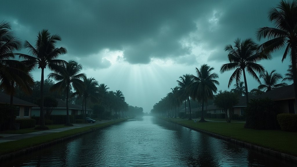
- Weekend Outlook: South Florida should expect intermittent to heavy rain throughout the weekend, potentially leading to localized flooding in low-lying areas.
- Public Safety: Local emergency management teams have advised residents to secure outdoor property and monitor local flood warnings closely.
- Travel Disruptions: Regional transport may face delays; commuters are urged to exercise caution on slick roadways.
Tracking the Impact: A Weekend Weather Alert
As Hurricane Isaias gains momentum, the meteorological implications for South Florida have become the central focus for both residents and emergency management officials. While the storm’s core trajectory is directed toward the Gulf Coast, the sheer scale of a Category 3 system creates a wide radius of influence. For South Florida, this means the region is entering a period of heightened vigilance, specifically concerning heavy precipitation and the potential for rapid accumulation.
The Meteorological Mechanics of the Rain
The National Hurricane Center (NHC) frequently highlights that the threat from a hurricane extends well beyond the projected cone of the eye. In the case of Isaias, the atmospheric dynamics are forcing tropical moisture across the Florida peninsula. As the system interacts with the warm waters of the Gulf, it fuels an atmospheric engine that pumps rain bands deep into the state’s interior. These bands are not merely light showers; they are convective cells capable of producing sudden, intense downpours. Residents should anticipate “training” rain—a phenomenon where rain bands move over the same geographical area repeatedly, significantly increasing the probability of flash flooding.
Infrastructure and Grid Resilience
The infrastructure in South Florida, particularly in highly developed coastal urban areas, is designed to handle significant rainfall, but consecutive days of precipitation test the limits of drainage systems. City planners and utility companies are currently shifting into a proactive stance. The saturation of the ground can lead to rapid runoff, and when combined with the potential for gusty winds, the probability of localized power outages increases. Utility providers have crews on standby, but residents are encouraged to ensure that their personal emergency kits—including flashlights, batteries, and non-perishable goods—are updated and accessible before the weather deteriorates further.
Secondary Impacts: Agriculture and Tourism
Beyond the immediate threat to public safety, a storm of this nature creates ripples across the economic landscape of South Florida. The agricultural sector, a vital component of the region’s economy, faces potential delays in harvesting and field access due to the mud and standing water. Farmers are taking precautions to clear drainage ditches and secure equipment.
Simultaneously, the tourism industry is bracing for a quiet weekend. While South Florida is a global destination, severe weather often correlates with mass flight cancellations and the closure of outdoor recreational sites. Businesses are advising travelers to check their itineraries against the latest NHC advisories. The economic impact is often compounded by the uncertainty of the storm’s wobble, which keeps vacationers in a state of flux until the final track is confirmed.
Long-Term Preparedness for the Season
This event serves as a critical reminder of the volatility inherent in hurricane season. While Isaias is the immediate focus, meteorologists emphasize that the atmospheric conditions currently favoring storm development in the Atlantic and Gulf basins remain active. For South Florida, the strategy remains constant: monitor, prepare, and heed official warnings. The distinction between a minor inconvenience and a significant disaster often lies in the quality of the preparation completed 24 hours prior to the first rain band reaching the coast.
FAQ: People Also Ask
Q: What should I do to protect my property from potential flooding?
A: Clear your gutters and downspouts to ensure proper drainage. If you live in a flood-prone area, consider moving valuables to higher ground and preparing sandbags for doorways or garage entrances.
Q: How long will the rain from Hurricane Isaias last in South Florida?
A: Current forecasts suggest that the rain bands will influence South Florida throughout the weekend. The intensity may fluctuate, but the moisture will likely linger until the storm shifts further away from the region.
Q: Should I be concerned about wind damage as well as rain?
A: While rain is the primary concern for South Florida, a Category 3 storm is powerful. Even at a distance, the pressure gradient can cause gusty winds. It is advisable to bring in patio furniture and secure any loose outdoor items that could become projectiles.